The short answer: yes, if they use real astronomical data
A personalised star map is scientifically accurate when it uses a reference star catalogue (such as the HYG v4.2 catalogue, based on data from ESA's Hipparcos satellite), the International Astronomical Union's (IAU) sidereal time algorithms, and a stereographic projection that preserves constellation shapes. OwnStarMap displays 8,921 stars with sub-arcsecond precision for any date, time and location. Here's how.
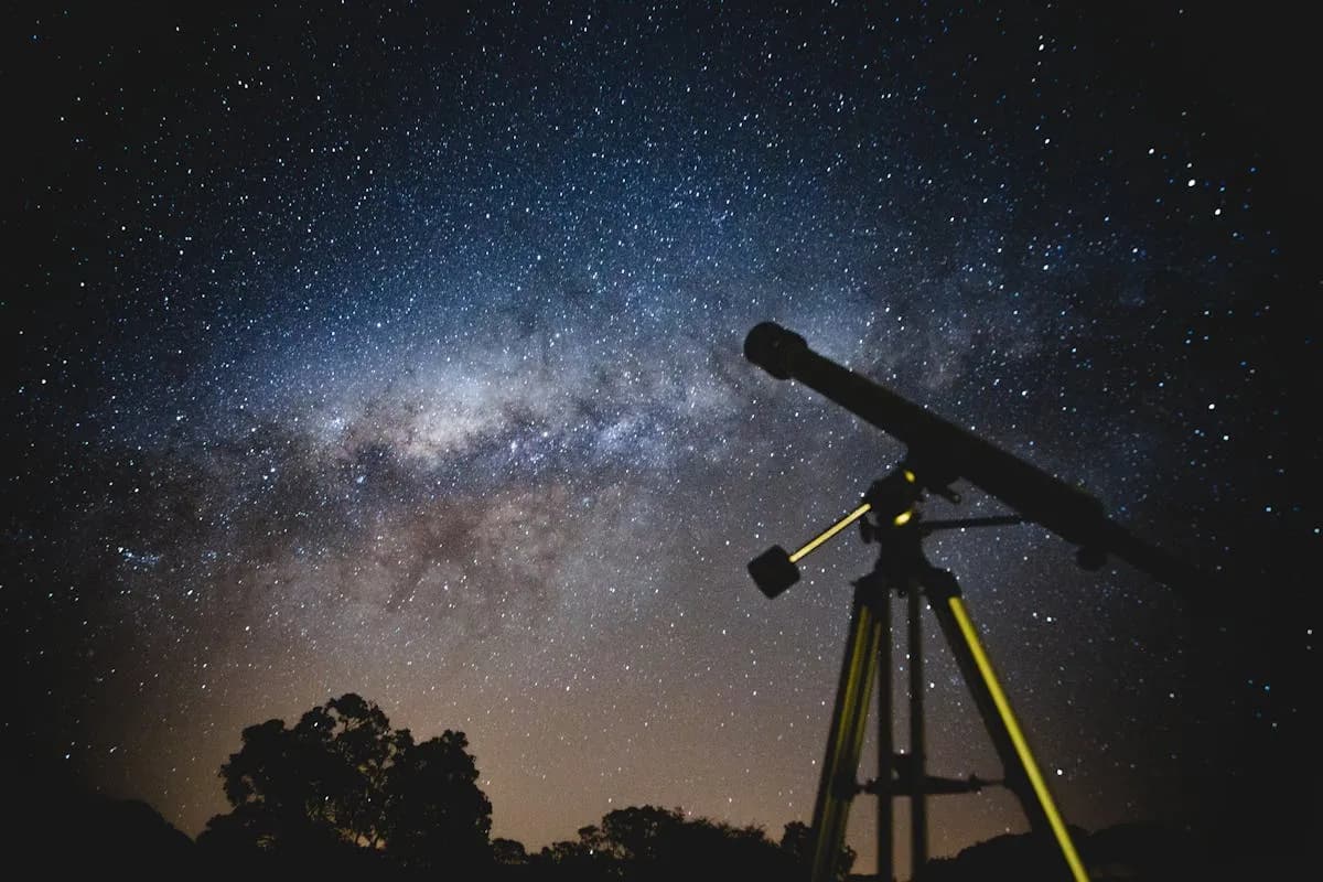
If you have ever considered buying a personalized star map — or received one as a gift — you have probably wondered: "Is this actually what the sky looked like?" It is a fair question. The night sky is a complex, constantly shifting canvas, and reproducing it accurately for any given date and location requires serious astronomical data and computation.
The answer depends entirely on the provider. Some star map companies use simplified or approximate data that produces a vaguely correct sky. Others, like ownstarmap.fr, use the same professional-grade datasets and algorithms that astronomers rely on. In this article, we will walk through exactly how an accurate star map is created, step by step, so you can understand what separates a scientifically precise map from a decorative approximation.
The Star Catalog: Where the Data Comes From
The foundation of any star map is the star catalog — a database containing the position, brightness, and classification of thousands of stars. Not all catalogs are created equal.
The HYG Catalog v4.2
At ownstarmap.fr, we use the HYG star catalog, version 4.2. The name stands for Hipparcos, Yale, and Gliese — three of the most respected stellar databases in astronomy:
- Hipparcos: The European Space Agency's high-precision star catalog, created from data collected by the Hipparcos satellite mission (1989-1993). It contains precise positions and parallax measurements for over 118,000 stars.
- Yale Bright Star Catalogue: A compilation of all stars visible to the naked eye (magnitude 6.5 or brighter), widely used by professional and amateur astronomers alike.
- Gliese Catalogue of Nearby Stars: A catalog focused on stars within approximately 25 parsecs (about 82 light-years) of the Sun, valuable for its completeness of nearby stellar objects.
The HYG catalog merges these three sources into a single, comprehensive dataset containing over 100,000 stars with accurate positions, magnitudes, spectral types, and proper motion data. This is not a toy dataset — it is the same kind of data used in planetarium software and academic research.
Filtering for Visible Stars
Not all 100,000+ stars in the HYG catalog are visible to the naked eye. The human eye, under ideal dark-sky conditions, can see stars down to approximately apparent magnitude 6.5. After applying this filter, we work with 8,921 stars — every star you could theoretically see on a perfectly clear, moonless night far from city lights.
This filtering is critical. Including too many dim stars would create a cluttered, unrealistic map. Including too few would leave the sky feeling empty. The magnitude 6.5 cutoff strikes the scientifically correct balance.
The Algorithms: How We Calculate Star Positions
Knowing where a star is in a catalog is only the beginning. Stars have fixed positions on the celestial sphere (expressed in Right Ascension and Declination), but what you see from a specific location on Earth at a specific time depends on several calculations.
Step 1: Sidereal Time Calculation
The first step is computing the Local Sidereal Time (LST) for your chosen date, time, and longitude. Sidereal time is the "clock" of the stars — it tells us which part of the celestial sphere is overhead at any given moment.
We use the IAU (International Astronomical Union) algorithm for computing Greenwich Sidereal Time, then adjust for the observer's longitude. The IAU is the global authority on astronomical standards, and their sidereal time formula accounts for the precession of Earth's axis and other orbital mechanics factors.
This is where many cheap star map generators cut corners. Simplified sidereal time formulas can be off by several minutes, which shifts the entire sky noticeably. The IAU algorithm ensures precision.
Step 2: Coordinate Conversion (RA/Dec to Altitude/Azimuth)
Each star in the HYG catalog has a position in equatorial coordinates: Right Ascension (RA) and Declination (Dec). These coordinates describe where a star sits on the celestial sphere, independent of the observer.
To determine what the sky looks like from your specific location, we convert these equatorial coordinates into horizontal coordinates: Altitude (angle above the horizon) and Azimuth (compass direction). This conversion requires:
- The observer's latitude and longitude
- The Local Sidereal Time (computed in Step 1)
- Spherical trigonometry equations that account for the geometry of the celestial sphere
Stars with a negative altitude are below the horizon and are excluded from the map. This is why a star map from Sydney on the same night looks completely different from one created for London — each observer sees a different hemisphere of the sky.
Step 3: Stereographic Projection
The sky is a sphere. Your poster is flat. Translating from one to the other requires a map projection, and not all projections are suitable for star maps.
We use stereographic projection, the same projection used in professional planispheres and many astronomical applications. Stereographic projection has two key properties that make it ideal:
- It preserves angles (it is conformal), meaning the shapes of constellations look correct
- It maps circles to circles, so the horizon and other circular features of the sky remain circular on the map
Alternative projections — like simple equirectangular or Mercator — distort constellation shapes, especially near the edges of the map. If you have ever seen a star map where Orion looks stretched or Ursa Major appears warped, you are likely looking at a poorly chosen projection.
The 88 IAU Constellations
Constellations are not just artistic patterns — they are officially defined regions of the sky, established by the International Astronomical Union in 1928. There are exactly 88 recognized constellations, and every point in the sky belongs to one of them.
On our star maps, constellation lines are drawn using segment data — pairs of star IDs that define the traditional stick-figure patterns. These are the same line patterns used in professional planetarium software. Each segment connects two specific stars by their catalog identifiers, ensuring the lines are astronomically correct rather than artistically approximated.
When you see Orion on your star map, the lines connect the actual stars Betelgeuse, Rigel, Bellatrix, and the three belt stars — not generic dots placed to "look about right."
How ownstarmap.fr Differs from Competitors
The personalized star map market has grown rapidly, and not all providers maintain the same standards. Here is what to watch out for:
Common shortcuts in low-quality star maps
- Simplified star data: Some providers use a small subset of stars (a few hundred) or generate star positions algorithmically rather than from a real catalog.
- Imprecise time calculations: Without proper sidereal time computation, the entire sky can be rotated by several degrees.
- Poor projections: Flat or equirectangular projections that distort constellation shapes.
- Invented constellation lines: Some maps draw constellation lines freehand rather than using official IAU segment data.
- No horizon filtering: Including stars that were below the horizon at the chosen time and location.
What we do differently
- Full HYG v4.2 catalog with 8,921 magnitude-filtered stars
- IAU-standard sidereal time calculation for precise sky rotation
- Proper RA/Dec to Alt/Az conversion using spherical trigonometry
- Stereographic projection that preserves constellation shapes
- 88 official IAU constellations with verified segment data
- Horizon-accurate filtering based on observer latitude and longitude
You can verify our accuracy yourself. Take your star map, note the date, time, and location, and compare it against a trusted planetarium application like Stellarium. The star positions and visible constellations will match.
Why Accuracy Matters for Your Gift
You might wonder if accuracy really matters for a decorative poster. We believe it does — deeply.
A star map is not just art. It is a claim: "This is what the sky looked like on our wedding night." If that claim is not true, the emotional power of the gift is undermined. When you hand someone a star map and say "these are the exact stars that were above us," you want that to be real.
Scientific accuracy is what transforms a pretty poster into a meaningful artifact. It is the difference between a generic sky illustration and a genuine record of a moment in time.
Try It Yourself
Curious to see what the sky looked like on your most important date? Our design tool lets you enter any date and location and see the accurate star map rendered in real time. You can toggle constellation lines, adjust the style, and preview exactly what your finished map will look like — all powered by the same astronomical engine described in this article.
Every star on your map earned its place through real data and real mathematics. That is not just our promise — it is verifiable science.
Create your scientifically accurate star map and see the real sky from your most meaningful moment.
Ready to capture your special moment?
Create a personalized star map in minutes.
Design my Star Map — from 12,00 €

