The Oldest Maps Ever Made Were Not of Earth
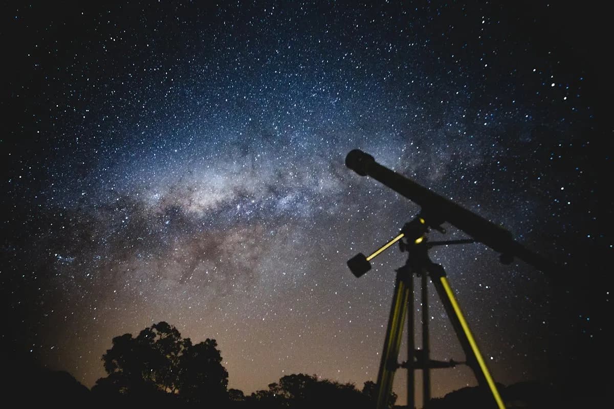
Before anyone drew a coastline or a mountain range, humans were mapping the stars. The urge to look up and record what we see is one of the deepest threads running through human civilization. Star maps are not just astronomical tools. They are artifacts of wonder, monuments to the human need to find order in the cosmos.
The history of celestial cartography spans at least 17,000 years, from painted cave walls to leather-bound Renaissance atlases to the digital star catalogs that power tools like OwnStarMap today. This is that story.
Lascaux: Stars on the Cave Wall (17,000 BC)
Deep inside the Lascaux caves in southwestern France, among the famous paintings of bulls and horses, researchers have identified something remarkable: a cluster of dots above the shoulder of a painted bull that closely matches the Pleiades star cluster, and the bull itself appears to represent the constellation Taurus.
If this interpretation is correct, these paintings are the oldest known star maps in human history, dating back roughly 17,000 years. The people who created them were not simply decorating a cave. They were recording the night sky, linking the patterns above to the animals and myths that structured their world. Even at the dawn of culture, the stars mattered enough to preserve in stone.
The Nebra Sky Disk: Bronze Age Astronomy (1600 BC)
Fast forward to around 1600 BC in central Europe. A bronze disk about 30 centimeters across, inlaid with gold symbols representing the Sun, a crescent Moon, and a cluster of stars identified as the Pleiades, was buried on a hilltop in present-day Germany. The Nebra sky disk is the oldest known realistic depiction of the night sky, and it was more than art. The arcs along its edge appear to mark the angles of sunrise and sunset at the solstices, making it a functional astronomical calendar.
The disk tells us that Bronze Age people were not casually glancing at the stars. They were studying them, encoding their observations in precious metal, and using that knowledge to track the seasons and plan their lives.
Egyptian Star Clocks: Timekeeping by the Stars (1500-1000 BC)
Ancient Egyptians took celestial mapping in a practical direction. Inside the lids of coffins from the Middle Kingdom period (around 2000-1600 BC), archaeologists have found painted star charts called "diagonal star clocks." These charts listed 36 star groups called decans, which rose above the horizon at ten-day intervals throughout the year.
By observing which decan was rising at a given moment, Egyptians could determine the hour of the night. The stars were not just mythological — they were the clock. This system influenced the 24-hour day we still use. The division of night into twelve parts, mirrored by twelve parts of daylight, is a direct inheritance from Egyptian celestial timekeeping.
Ptolemy's Almagest: The Ancient World's Star Catalog (150 AD)
The most influential star catalog of the ancient world was compiled by Claudius Ptolemy in Alexandria around 150 AD. His Almagest listed 1,022 stars organized into 48 constellations, with positions measured in ecliptic coordinates. It synthesized centuries of Greek astronomical observation, including the earlier work of Hipparchus, into a single comprehensive reference.
The Almagest remained the definitive star catalog for over a thousand years. It was the foundation on which all subsequent celestial cartography was built, and 48 of Ptolemy's original constellations are still among the 88 recognized by the International Astronomical Union today.
The Islamic Golden Age: Preserving and Advancing the Science (800-1400)
When the Roman Empire declined, it was scholars in the Islamic world who preserved and extended Ptolemy's work. The Almagest was translated into Arabic in the 9th century, and astronomers like Abd al-Rahman al-Sufi produced refined star catalogs with corrected positions and magnitudes. Al-Sufi's Book of Fixed Stars (964 AD) included the first recorded observation of the Andromeda Galaxy, described as a "small cloud."
Islamic astronomers also invented the astrolabe, a sophisticated analog computer that could model the positions of stars and solve problems in spherical astronomy. Many of the star names we use today — Aldebaran, Betelgeuse, Rigel, Altair, Deneb — are Arabic in origin, a lasting testament to this era's contribution to the science of the stars.
The Renaissance: Celestial Atlases as Works of Art (1600-1800)
The invention of the printing press and the telescope transformed star mapping. In 1603, the German astronomer Johann Bayer published Uranometria, the first celestial atlas to cover the entire sky. Bayer introduced the system of naming stars with Greek letters (Alpha, Beta, Gamma) that astronomers still use. His atlas contained 51 star charts illustrated with elaborate constellation figures — part science, part art.
A century later, John Flamsteed, the first Astronomer Royal of England, produced Atlas Coelestis (published posthumously in 1729), which charted nearly 3,000 stars with unprecedented accuracy. Flamsteed's numbered star designations remain in use today.
These Renaissance celestial atlases were extraordinary objects: enormous folios with engraved plates, hand-colored and gilded, representing both the cutting edge of astronomical observation and the pinnacle of printmaking craft. They hung in the libraries of kings and scholars, prized as much for their beauty as for their scientific content.
The Modern Era: From Photography to Digital Catalogs (1900-Present)
The 20th century transformed celestial cartography from an art into a data science. Photographic star surveys, beginning with the Carte du Ciel project initiated in 1887, eventually captured millions of stars with precise positions. The Hipparcos satellite, launched by the European Space Agency in 1989, measured the positions and motions of over 100,000 stars from orbit with extraordinary precision.
Today, the databases used for star mapping are digital. The HYG catalog, which combines data from the Hipparcos, Yale Bright Star, and Gliese catalogs, contains detailed information on over 100,000 stars. OwnStarMap draws on this catalog to plot the 8,900+ stars visible to the naked eye (magnitude 6.5 or brighter), ensuring that every star map is built on real, verified astronomical data.
If you are curious about how modern star mapping works and what makes a star map scientifically reliable, our guide on astronomy for beginners covers the underlying principles.
The Thread That Connects Us All
What is remarkable about this history is not how much has changed, but how little has changed in motivation. The painters at Lascaux, the smiths who forged the Nebra disk, the scribes who drew star clocks inside Egyptian coffins, Ptolemy in his study in Alexandria, al-Sufi measuring star positions in Isfahan, Bayer engraving his celestial atlas — all of them were doing the same thing. They were looking up, recording what they saw, and trying to make the infinite sky feel knowable.
That impulse has not gone away. If anything, it has become more personal. We no longer need star maps to navigate the oceans or plant our crops, but we still want them. We want to see the sky as it looked on the night we were born, or the evening we fell in love, or the moment our child took their first breath. The stars have always been a mirror for what matters to us most.
Create your own star map and join a tradition that stretches back 17,000 years.
From the Cave to Your Wall
Every OwnStarMap star map is a direct descendant of Lascaux. The technology is different — we use the HYG star catalog, IAU constellation data, and stereographic projection algorithms instead of ochre pigment and firelight — but the purpose is the same. To capture a moment in the sky. To make it permanent. To say: this is what the universe looked like when something that mattered to me happened.
That is what celestial cartography has always been about. Not just science, and not just art, but meaning. If you want to learn more about how to design your perfect star map, our complete guide to personalized star maps walks you through every option.
The sky above you tonight is unique. No one else on Earth sees exactly the same stars from the same place at the same time. And tomorrow night, it will be different again. That is what makes a star map worth having — it freezes a moment that will never repeat.
Design your star map now and make tonight's sky yours forever.
Ready to capture your special moment?
Create a personalized star map in minutes.
Design my Star Map — from 12,00 €